


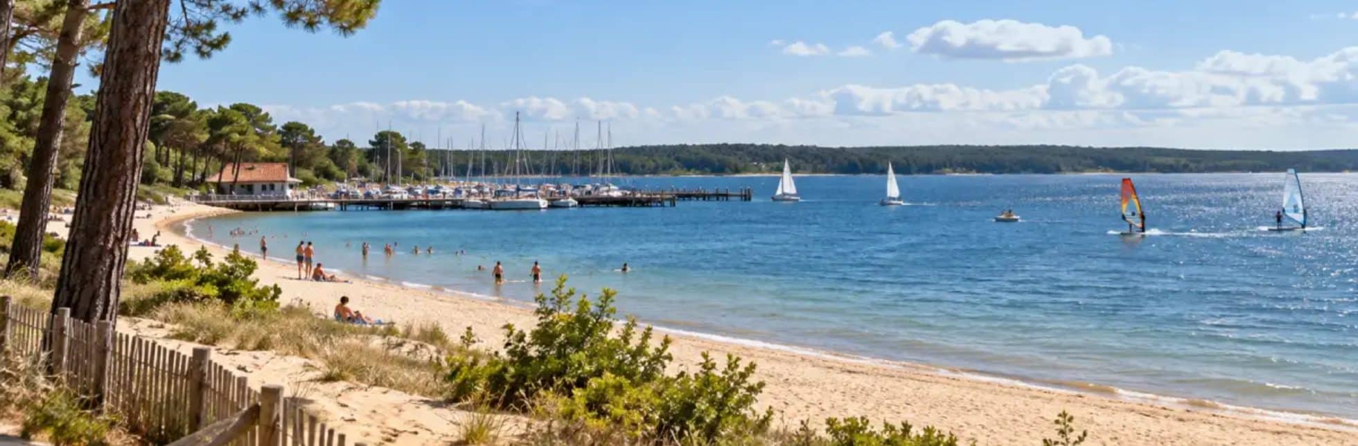
A quick glance at the Hourtin webcam is all it takes to decide whether to head out onto the lake or head to the ocean. Two cameras stream live footage of Lake Hourtin-Carcans and the harbor, while Hourtin Plage is available via recorded footage. Our campsite in Hourtin is located 500 m from the lake, so these images serve as a guide before every outing.
Here’s where to find them, how to read them, and what data to monitor based on your business.
Live webcams of the lake and harbor in Hourtin
The Médoc Atlantique Tourist Office streams two live feeds from Hourtin, each accompanied by a comprehensive weather ticker. However, each camera serves a distinct purpose.
Lake Hourtin-Carcans in real time
The lake’s webcam provides a live view of the water’s condition, its color, and the sky above. It also displays the air temperature, water temperature, and wind speed. According to the Hourtin town hall, Lake Hourtin-Carcans is indeed the largest natural freshwater lake in France, covering 5,800 hectares. On such a large surface, the wind quickly stirs up choppy waters, which is why it’s a good idea to check the feed before inflating your paddleboard.
The Port of Hourtin and its 500 boats
The second camera captures the marina, which can accommodate 500 boats. It primarily provides insight into the activity on the docks and the position of the masts—a good indicator of the actual wind conditions. Thus, well-filled sails signal a great day for windsurfing.
Hourtin Beach and the state of the waves on the ocean side
On the Atlantic side, Hourtin Plage can be viewed in real time: Viewsurf archives sequences of the beach at regular intervals. To assess the state of the waves, the image is best combined with some key data.
Delayed footage from Hourtin Plage
The Viewsurf sequences show the breaking line, the foam, and the number of people on the sand. Compare 2 or 3 successive clips: you will immediately see if the sea is getting rougher or calmer as the morning progresses.
Waves, Wind, and Tides: A Must-Read
Before heading out to the ocean, check these 4 indicators:
- Wave height indicates the average size of waves at the coast.
- A long period indicates more powerful and more widely spaced sets.
- An easterly wind blowing from the land hollows out and smooths the waves.
- The tidal range indicates the magnitude of the daily tidal range.
Good to know: The Médoc Atlantique Tourist Office publishes a tide schedule guide for Hourtin Plage every season. You can download it as a PDF or pick up a printed copy at the visitor centers. Combined with photos of the beach, it helps you plan a swim or a surfing session at the right time, rather than finding the waves too rough once you get there.
Which webcam should you check based on your activity?
Each activity calls for its own camera: the lake for water sports and family swimming, the ocean for surfing and long walks on the sand. Here’s our guide, from calm conditions to strong winds:
- The webcam view of the lake shows that paddleboarding and kayaking require calm waters and light winds.
- Windsurfing and dinghy sailing, on the other hand, benefit from steady winds, clearly visible on the masts in the harbor.
- Family swimming depends on how crowded the supervised beach is and the water temperature.
- Surfing and bodyboarding conditions are assessed using footage from Hourtin Plage, taking into account the swell and wind.
At our campsite, this simple habit can make all the difference on a vacation day. As our front-desk team puts it: “Just take a look at the webcam feed of the lake while you’re having breakfast, and you’ll know right away whether it’ll be a morning of paddleboarding or swimming!” Between the lake, the pine trees, and the wild beaches of the Gironde, so you always have a Plan B at your fingertips.
Why look at the lake through a screen when it’s just 500 m away? Our 4-star campsite in the Médoc welcomes you to 7 hectares of grounds, featuring a 1,200 m² water park and the ocean just 10 km away. Book your stay and check out the webcam from your patio!
AI-generated image